 |
Currently marked routes |
 |
Routes eliminated or renumbered 1960-present |
 |
Routes eliminated or renumbered 1950-1960 |
 |
Routes eliminated or renumbered 1930-1950 |
| 71 | Routes for which no record has been found so far of this number being assigned. (Post-1927 only). |
351
East terminus: I-40 (exit 167) in NE Albuquerque
Length: 5 mi.
County: Bernalillo
History: Ran down Lomas Blvd. from Central Avenue to I-40. Established early 1960s as I-40 was constructed through Albuquerque. Removed from state highway system in the 1980s.
Improvements: Four lane urban street
Comments: This route was never marked that I saw. The portion near downtown was posted as RELIEF U.S. 66 through the 1970s.
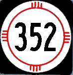
353
354

North terminus: N of U.S. 62-180
Length: 1.091 mile
County: Eddy
History: Date of establishment not known, by its number is probably pre-1988. This only shows on the 2003 New Mexico highway map and the current highway log, though.
Improvements: Two-lane paved
Comments: This road is just east of the junction of 62-180 and NM-31. There is nothing in that area that appears to warrant a state road, but it may serve a gas or oil field.
North terminus: NM-152 at Hanover
Length: 5.052 miles
County: Grant
History: Established late 1970s-early 1980s.
Improvements: Two-lane paved
Comments:
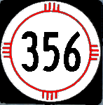
East terminus: NM-229 at Artesia
Length: 3.950 miles
County: Eddy
History: Date of establishment not known --- probably post 1988 due to its number.
Improvements: Two-lane paved
Comments: Richey Avenue in Artesia
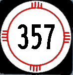
358

Previously --- U.S. 70 W of Las Cruces (1970s-80s); Mesilla Village limits (1980s-2000s)
East terminus: NM-28 in Mesilla
Length: 2.616 miles
County: Doña Ana
History: Too short to discern on older maps, but I know it was in existence when I lived in Las Cruces in the early 1970s. Probably established mid-1960s along with other routes in the Mesilla Valley. Segment outside La Mesilla was eliminated from state highway system, probably 1980s. Route further shortened to Rio Grande bridge, early 2000s. It is possible that, together with NM-374, this includes a portion of original Rt. 4, the predecessor route to U.S. 80, which angled WSW from Mesilla toward Aden.
Improvements: Paved, two lane
Comments: Ends at Mesilla Hills Drive and South Fairacres Road

Previously --- NM-31 (1950s-88)
North terminus: U.S. 82 E of Artesia
Length: 25.098 miles
County: Eddy
History: Established early 1950s. Southern terminus was at NM-31. In 1988, NM-31 was eliminated and NM-360 took over the segment south to U.S. 62-180.
Improvements: Paved, two lane
Comments:

North terminus: U.S. 85 N of downtown Albuquerque
Previously --- U.S. 66 in Albuquerque (early-late 1950s)
Length: 3 miles
County: Bernalillo
History: Created early 1950s along Broadway north of the point where NM-47 turned west (Prosperity Avenue) to jog to 2nd Street. Original terminus was at U.S. 66 (Central Ave.), but the route was extended north along Broadway to Menaul Blvd. then west to 4th St. (U.S. 85) in the late 1950s. In the 1988 renumbering, NM-47 was rerouted north along Broadway, replacing NM-361.
Improvements: Paved, two lane
Comments: Emblematic of New Mexico's weakness in marking junctions, the point where NM-47 turned left and NM-361 went straight along Broadway (the evident through route for traffic) was not marked with any directional route markers. There were "reassurance" markers on both routes, but only after you had turned or passed the intersection.
362 363
364 365
366


North terminus: I-25 N of downtown Albuquerque (San Mateo exit, exit 230)
Length: 5 mi.
County: Bernalillo
History: Established along San Mateo Avenue in the mid-1960s when I-25 and I-40 were completed through Albuquerque. Removed from state highway system by the 1980s.
Improvements: 4-lane urban boulevard
Comments: This route was never marked.

North terminus: Arabella
Length: 17.458 mi.
County: Lincoln
History: Established mid-1950s. It is possible that at some point the route extended north to NM-48 (now 246), but the maps are unclear on this point and the connection (now closed) was never a good road.
Improvements: Two-lane, paved
Comments:

North terminus: U.S. 84-285 in Española
Length: 2.400 mi.
County: Rio Arriba
History: Date of establishment unclear because the route is so short. Probably 1980s.
Improvements: Paved, two lane road.
Comments: A loop along Lower and Upper San Pedro Roads, south from 84-285.
North terminus: NM-456
Length: 47.521 mi.
County: Union
History: Established early 1950s. No significant changes in route since then.
Improvements: Gravel except for first 10 miles or so north of Clayton
Comments: Photo at left taken at the junction with NM-456 (the north end of this route) in the beautiful mesa country of northeast New Mexico.
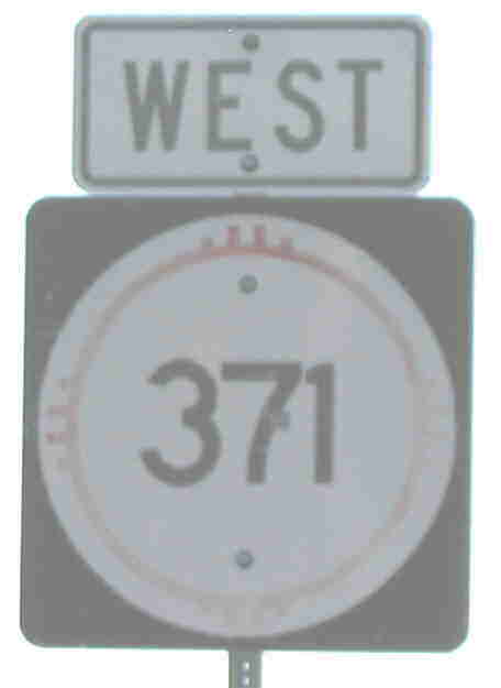
Photo taken at Murray Road (U.S. 64 Truck Route or NM-5001) in Farmington.
Previously --- NM-57 at Crownpoint (1980-88)
North terminus: U.S. 64 (marked business) at Farmington
Length: 107.650 mi.
County: McKinley, San Juan
History: Established around 1980 from Farmington south to Crownpoint. Replaced NM-57 between Crownpoint and Thoreau around 1988.
Improvements: Two lane, paved
Comments: A relatively new road constructed as an alternate to U.S. 491 (666). Note that the photo at left shows the road as east-west; the first mile or two does angle west from Farmington but definitely goes south after that. The north end of the road is U.S. 64 Business Route as marked (Broadway).

Previously --- NM-28 S of Mesilla (1960s-2000?)
North terminus: NM-359 at Mesilla city limits
Length: 2.633 mi.
County: Doña Ana
History: Exact history cannot be determined because the route is so short, but it was in existence in the early 1970s. Probably established early to mid-1960s along with other routes in the Mesilla Valley. While signage appears to indicate an end-to-end terminus with NM-373 on the north end, the state highway log shows continuation to NM-359.
Improvements: Two lane, paved
Comments: Snow Road.
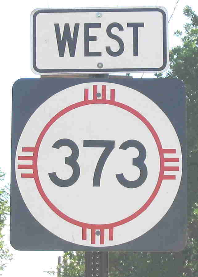
Photo taken at junction with NM-28.
East terminus: Union Avenue at McDowell Road (Mesilla city limits)
Previously --- NM-478 at Mesilla Park (1960s-2000s)
Length: 1.496 mi.
County: Doña Ana
History: Exact history cannot be determined because the route is so short, but it was in existence in the early 1970s. Probably established early to mid-1960s along with other routes in the Mesilla Valley.
Improvements: Two lane, paved
Comments: Runs from Mesilla east-northeast along Union Avenue to McDowell Road.
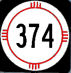
East terminus: NM-372 S of Mesilla
Length: 1.224 mi.
County: Doña Ana
History: Exact history cannot be determined because the route is so short, but it was in existence in the early 1970s. Probably established early to mid-1960s along with other routes in the Mesilla Valley.
Improvements: Two lane, paved
Comments: At one time, this route went over Mesilla Dam (a small dam on the Rio Grande that exists to feed irrigation ditches) and connected with a county road that goes west into the desert. Now, the dam is closed to traffic and the road dead-ends. Thus, its only function is to serve two pecan groves. Why it is still a state route is not clear to me. As noted under NM-359 above, original Rt. 4, the predecessor route to U.S. 80, angled WSW from Mesilla toward Aden. This may well be a remnant of that road as well as its short-lived successor route, NM-3, in the late 1920s.
North terminus: Koehler
Length: 5 mi
County: Colfax
History: Established early 1950s, eliminated from state highway system by 1970.
Comment: Koehler was --- or is --- the site of a coal mine
376
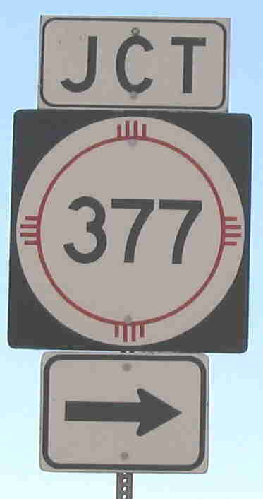
Photo taken at junction with NM-549 W of Deming.
East terminus: Mimbres River bridge
Previously --- I-10 (no interchange)
Length: 1.887 mi
County: Luna
History: Year of establishment not known, probably prior to 1988 because of the number.
Improvements: Paved, two lane
Comment: Purpose of this route not clear. Apparently not old U.S. 80 (that is NM-549).
East terminus: NM-522 at Cerro
Length: 3.4 mi
County: Taos
History: Established around 1970.
Improvements: Paved, two lane
Comment: On the earliest map it is shown on (c. 1972 Gousha), it is shown as NM-318, an evident error.
North terminus: Colonias
Length: 12 mi
County: Guadalupe
History: Exact dates of establishment and removal from state highway system are not known. This route does not show on any of my maps, leading me to conclude it was established in the early 1980s and decommissioned by 1990 or so. The road is now Guadalupe County Road 4H.
Comment: I found this route on a USGS topographic map when looking for remnants of 1930s U.S. 66, which it may well be part of.
380


North terminus: NM-229 E of Atoka
Previously --- Lakewood (1980-95)
Length: 12 mi
County: Eddy
History: Established around 1980. Originally connected U.S. 285 to Lakewood. Current Benchmark Atlas shows it extending north parallel to U.S. 285. Probably removed from state highway system 2003-05.
Comment: The 2003 New Mexico highway map shows a 2-mile long route extending east from 285 to Brantley Lake and the town of Lakewood (corresponding to the original routing of this road).
382
383
384

See also

North terminus: NM-314/BL I-25 N of Belen
Length: 4 mi
County: Valencia
History: Probably established 1988. Likely removed from state highway system by 2003.
Improvements: Two lane paved
Comment: Ran along Galbadon Road on the northeast side of Belen

East terminus: U.S. 84 S of Apache Springs
Length: 8.820 mi
County: Guadalupe, San Miguel
History: Appears to have been constructed mid to late 1980s (but pre-1988 from its number).
Improvements: Two lane paved
Comment: Appears to meet NM-119 at Anton Chico at a common terminus.
387
388
389

North terminus: NM-187 S of Garfield
Length: 4.280 mi.
County: Doña Ana
History: Year of establishment not evident because route is too short to trace on maps. Likely pre-1988 because of its number.
Improvements: Two-lane paved road
Comments: Runs west of NM-187 (old U.S. 85) closer to the Rio Grande.
391
East terminus: I-40 (exit 369) W of Glenrio (Texas State Line)
Length: 15.878 mi.
County: Quay
History: Established mid-1950s, intersecting U.S. 66 a few miles west of its current terminus. Routed onto its current route by the late 1950s.
Improvements: Two lane paved
Comments: Intersects I-40 at the same interchange as NM-93, which continues south. This connection did not take place until the early 1970s; formerly, NM-93 used the original alignment of U.S. 66 from Endee northeast to Glenrio.
393
North terminus: Arrowhead (NW of Deming)
Length: 3 mi.
County: Luna
History: Date of establishment not known. Only visible on on-line maps. Probably only in state highway system only a few years for improvement purposes.
Improvements: Paved two lane
Comments:
East terminus: U.S. 70-380 near Tinnie
Length: 0.480 mi.
County: Lincoln
History: Road is too short and insignificant to trace on older maps. Probably established pre-1988 due to its number.
Improvements: Gravel
Comments: A road that extends south and west from U.S. 70-380 into the mountains east of Ruidoso. It appears to end at a section of NFS road.

East terminus: Black River Village
Length: 4 mi.
County: Eddy
History: Established c. 1980. Removed from state highway system 2003-05.
Improvements: Two-lane, paved
Comments: The eastern extension of this road (County 720) extends to U.S. 285 near Malaga. This road does provide a shortcut from the Carlsbad Caverns area to U.S. 285 South of Carlsbad.
397

East terminus: NM-93 N of Bellview
Length: 6 mi.
County: Quay
History: Established mid-1950s. Removed from state highway system by around 1990
Improvements: Two-lane, paved
Comments:

North terminus: U.S. 84-285 in Española
Length: 3.185 mi.
County: Rio Arriba, Santa Fe
History: Date of establishment not known, likely pre-1988 due to route number.
Improvements: Two-lane, paved
Comments: Runs through village of La Mesilla (not to be confused with Mesilla in Doña Ana County) along La Mesilla Road. Intersection with U.S. 84-285 is also beginning of NM-106.

North terminus: I-40 (exit 33) near Ft. Wingate
Length: 10.620 mi.
County: McKinley
History: Established late 1950s
Improvements: Two-lane, paved
Comments: One of the first several 400+ routes established in the late 1950s.