 |
Currently marked routes |
 |
Routes eliminated or renumbered 1960-present |
 |
Routes eliminated or renumbered 1950-1960 |
 |
Routes eliminated or renumbered 1930-1950 |
 |
Routes for which there is conflicting information about their present or past existence. |
| 71 | Routes for which no record has been found so far of this number being assigned. (Post-1927 only). |

North terminus: NM-22 in Santa Fe
Length: 1 mi.
County: Santa Fe
History: Year of creation is uncertain, since this route only shows on maps with a large Santa Fe inset. I'm guessing it existed only from the 1970s to the 1980s.
Improvements: Two-lane paved road
Comments: It ran along Camino Encantado ("Enchanted Highway"), which runs close to the north end of Santa Fe.

Previously --- 16 miles south of U.S. 60-84 (late 1950s-88)
North terminus: NM-209 at Ragland
Previously --- de Baca-Quay County Line (early 1950s-late 1950s); NM-86 at House (late 1950s-1988)
Length: 43.106 miles
County: de Baca, Quay
History: Established early 1950s north from U.S. 60-84, first to the county line, eventually to NM-86. Segment south of U.S. 60-84 added late 1950s. Combined with the northern part of NM-86 in the 1988 renumbering.
Improvements: Two-lane paved
Comments:
East terminus: Oasis
Previously (north) --- U.S. 380 in Roswell
Length: 5.400 miles
County: Chaves
History: Established 1970s (the date for which I have a map with a Roswell inset). Possibly dates back to 1960s. The original route looped from NM-2 (now 256) east to Oasis, then north and back west to NM-254, then north to U.S. 380. Just west of this junction, it looped north, west, and back south to U.S. 380 over what is now NM-265.
Improvements: Paved, two lane
Comments: Current east-west part of this route runs along East Grand Plains Road. The prolifieration of 2xx-numbered routes originally led me to believe that this, along with 254, were 1988 routes. Actually, they were established earlier, probably 1970s.

North terminus: U.S. 380 E of Roswell
Previously (east) --- NM-253 (1970s-88)
Length: 4.378 mi.
County: Chaves
History: Probably established same time as NM-253 (thus the number clustering). Took over the part of NM-253 from the junction with 253 to U.S. 380.
Improvements: 2-lane, paved road
Comments: Runs east from NM-256 along Brasher Road, then north along White Mill Road.
North terminus: NM-253 SE of Roswell
Length: 3.112 mi.
County: Chaves
History: Probably established in the mid-1970s along with 253 and 254. Too short and too far away from Roswell to show up on oil company maps from that era.
Improvements: Two-lane, paved
Comments: Runs east on East Crossroads Road, north on Hummingbird Lane.
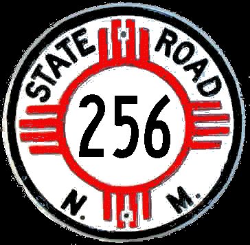
East terminus: Texas State Line E of Jal
Length: 7 mi.
County: Lea
History: Established early 1950s. By the late 1950s, this was renumbered as the eastward extension of NM-128, its current designation
North terminus: U.S. 380 in Roswell
Length: 8.320 mi.
County: Chaves
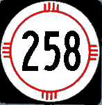
History: Renumbered from NM-2 in the mid-1980s, maybe 1988 (though it's suspicious that the other routes in the area that date to the 1970s have sequential numbers to this route). This was renumbered when the "T" in NM-2 was eliminated; formerly, NM-2 ran both up this road and to a junction with U.S. 285.
Improvements: Paved, two lane road.:
257
East terminus: NM-206 at Milnesand
Length: 9.980 mi
County: Roosevelt
History: Year of establishment not known. It shows on the 1999 Benchmark Atlas and the 2003 New Mexico highway map.
Comment: Appears to be a road serving an oil field area. Straight-ahead junction at NM-206 becomes NM-262.
259
260


North terminus: NM-254 SE of Roswell
Length: 4.570 mi.
County: Chaves
History: Year of establishment not known --- it only shows on the 2003 New Mexico highway map. However, though the number is consistent with a post-1988 numbering for this NMDOT district, there is also a cluster of route numbers in this range dating to the 1970s.
Improvements: Two-lane paved road
Comments: Runs north on East Grand Plains Road, east on Cedarvale Road, north on Seminole Road, west on Lovers Lane to White Mill Road.

East terminus: Texas State Line near Bledsoe
Length: 17.640 mi.
County: Roosevelt
History: Established mid-1960s.
Improvements: Two-lane paved road
Comments: The straight-ahead junction with NM-206 turns into NM-258

North/west terminus: NM-6 near Valencia
Length: 5.720 mi.
County: Valencia
History: Date of establishment not known, probably pre-1988 due to its number not being in the 3xx series.
Improvements: Two-lane, paved
Comments: Appears to be a loop to serve residences and small farms in the area east of Belen. From south terminus, runs east, north, and then west across NM-47 to NM-6. El Cerro Loop east of NM-47, then crosses and becomes Vigil Road and El Cerro Road.

Windshield shot, taken on SB U.S. 491 October
2009.
East terminus: U.S. 491 at Ya-ta-hey
Length: 15.945 mi.
County: McKinley
History: Originally designated NM-68. Renumbered in the mid-1960s to match the designation Arizona gave the connecting route when it became a state highway.
Improvements: Four-lane divided its entire length in New Mexico.
Comments: The major connecting route to the headquarters of the Navajo Nation at Window Rock, Arizona. There is an interchange with U.S.491 designed to give priority to traffic transitioning from 491 to 264 and vice-versa..

Previously --- Atkinson Avenue and U.S. 380 (until 2000)
East/south terminus: U.S. 380 at Red Bridge Road east of Roswell
Length: 4.039 mi.
County: Chaves
History: Originally the loop through northeast Roswell that was the northern extent of NM-253. Probably renumbered in 1988. Extent cut back around 2000.
Improvements: Paved two lane
Comments: Starts at Atkinson Avenue and College Blvd. (the Roswell city limits), then east on College Blvd. about 1/2 mile, north on Fowler Road about 1/2 mile, east on 19th Street about two miles, and finally south on Red Bridge Road about 1-1/2 miles to the junction with U.S. 380. The portion in the city of Roswell has been removed from the state highway system.

East terminus: NM-94 near Sapello
Length: 6.400 mi.
County: San Miguel
History: Probably established 1980s before 1988 (since it doesn't have a 5xx number).
Improvements: Gravel road
Comments:

East terminus: U.S. 70 in Portales
Length: 32.389 mi.
County: Curry, Roosevelt
History: Originally NM-88 between Portales and Melrose. Renumbered in1988 when 88 was divided at segments where it overlaid other routes.
Improvements: Paved two lane
Comments: Goes south from its starting point, then east where it intersects NM-330 near Floyd.

North terminus: NM-209 E of Ragland
Length: 27.718 mi.
County: Curry, Quay
History: Originally NM-88 between Melrose and NM-18 (now 209). Renumbered in 1988 when 88 was divided at segments where it overlaid other routes.
Improvements: Paved two lane
Comments:

East terminus: NM-314 at Pajarito
Length: 2 mi.
County: Bernalillo
History: Too short to accurately determine date of establishment, but probably pre-1988 because of its number (not a 3xx number). Appears to have been removed from the state highway system along with the portion of NM-314 north of I-25, probably early 2000s.
Improvements: Paved two lane
Comments:

East terminus: U.S. 70 S of Clovis
Length: 4 mi.
County: Curry
History: Too short to accurately determine date of establishment. Could be a 1988 or later route because of the 2xx number used in this area, but it is just as likely that 270 was selected as a derivative of U.S. 70. Probably turned back to city of Clovis by around 2000.
Improvements: Paved two lane
Comments: The road went straight ahead at U.S. 70 onto NM-318 and forms a bypass loop around the south side of Clovis.

East terminus: Mora-San Miguel County Line
Length: 24.100 mi.
County: Mora
History: Probably established 1980s, since it doesn't have a 4xx designation that would date it 1988 or later.
Improvements: Gravel
Comments: An odd road to have in the state system unless some kind of improvements are envisioned or there is a major facility like a mine out there that I can't see on the map. It isn't exactly a "road to nowhere," but appears to only serve ranches before dead-ending short of the Canadian and Mora Rivers.

North terminus: U.S. 60-84 E of Ft. Sumner
Length: 9.310 mi.
County: deBaca
History: Established late 1990s (doesn't show on anything earlier). It is an unusual road, running closely parallel to NM-212 and occupying the southern part of that route as originally established.
Improvements: Paved, two lane
Comments: By "closely parallel", I mean 1/4 mile distance between this route and NM-212. I find this one hard to understand. It serves the state historic park that commemorates the killing nearby of William "Billy the Kid" Bonney by Sheriff Pat Garrett (Silver City's best friend, as Ry Cooder sang).
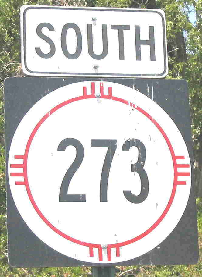
North terminus: NM-28 S of La Union
Previously --- NM-28 E of La Union
Length: 14.105 mi.
County: Doņa Ana
History: Created early 1950s. Around 2000, a two-mile section south of La Union was removed from the state highway system and the new spur north of this point was redesignated NM-182. The remainder of the route was consolidated with NM-319.
Improvements: Paved, two lane
Comments: Runs up the west side of the Rio Grande valley from El Paso. There is an exit from Paisano Drive (U.S. 85) in El Paso marked with this route number (on a Texas-style rectangle), but a short piece of the connecting route is in Texas.
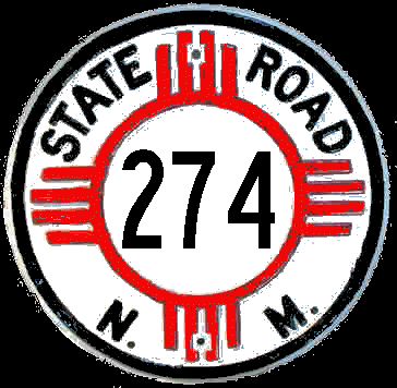
North terminus: La Madera
Length: 5 mi.
County: Bernalillo
History: Appears to have existed only in the early 1950s. This road was never significantly improved and is not shown as a state highway in mid and late 1950s maps.
Comments:

North/west terminus: NM-469 N of Wheatland
Length: 14.938 mi.
County: Quay, Curry
History: Established early 1950s. Originally ran on different, unimproved roads west and south of current alignment, but moved onto current alignment by mid-1950s.
Improvements: Paved, two lane. Quay County segment was last to be paved by 1980s.
Comments: Runs about the same distance north that it does after it turns west.

North terminus: NM-105 S of Mora
Length: 5.800 mi.
County: San Miguel
History: History not known. Not shown on maps. Pre-1988 by its number.
Improvements: Paved, two lane.
Comments:

North/west terminus: NM-88
Previously --- NM-224 (early 1950s); NM-89 (1950s-1980s)
Length: 19 mi.
County: Curry
History: Established early 1950s, originally along present-day NM-311 to NM-224. Soon after extended north to NM-89 along present-day Curry County routes T and U. In the 1980s, extended west along 89 (now 288) and overlaid with NM-224 north and west to NM-88 (now NM-268). This segment probably removed from state system by 1988. Consolidated with NM-311 in 1988.
Comments:

North terminus: I-40 frontage road (near exit 339) E of Tucumcari
Length: 33.536 mi.
County: Quay
History: Originally the northernmost segment of NM-88. Changed to this designation in 1988.
Improvements: Northern half gravel, southern half two-lane, paved
Comments:

Previously --- NM-334 E of Marquez
North terminus: Cibola County Road C-5 near Seboyeta (also spelled Cebolleta)
Previously --- NM-44 S of La Ventana
Length: 11.600 mi.
County: Cibola
History: Unfortunately, this shares a confused history with NM-334. Established early 1950s well north of its current alignment between NM-334 east of Marquez and NM-44. By the late 1950s, it had been extended south over the easternmost part of NM-334 to Paguate, and an apparently independent segment had been established from U.S. 66 at Cubero to Encinal. This latter segment was apparently combined with NM-334 by the late 1960s, and NM-279 was extended south to Laguna. By the mid-1970s, the northernmost part of the road was removed from the state highway system except for a short spur off of NM-44. (This segment of road is no longer open to the public). The northern terminus was cut back to Marquez, and finally by the late 1980s to its current terminus.
Improvements: Two-lane, paved
Comments:
280

North terminus: NM-104 E of Las Vegas
Length: 6.364 mi.
County: San Miguel
History: Established early to mid-1980s? Not shown on earlier maps, and if later would probably have a 5xx number.
Improvements: Paved, two-lane
Comments: Possibly established around the same time as NM-283, given the physical and numerical proximity.

North terminus: Aztec Airport
Length: 1.088 mi.
County: San Juan
History: Established early to mid-1980s? Not shown on earlier maps, and if later would probably have a 5xx number.
Improvements: Paved, two-lane
Comments: Oliver Avenue, connecting NM-516 to Aztec Airport

East terminus: I-25 frontage road (near exit 343) S of Las Vegas
Length: 13.811 mi.
County: San Miguel
History: Established late 1970s-early 1980s.
Improvements: Paved, two-lane
Comments: Possibly established around the same time as NM-281, given the physical and numerical proximity.
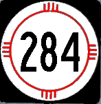
East terminus: NM-14 in Santa Fe
Length: 4 mi.
County: Santa Fe
History: Established mid-1960s. Removed from state system probably when Santa Fe Relief Route was completed around 2000.
Improvements: Paved, two-lane
Comments: Now marked as a Santa Fe County route (County 56).
285


North terminus: Tucumcari Municipal Airport
Length: 0.781 mi.
County: Quay
History: Only shown on the 2003 New Mexico highway map, though it is so short that it could have existed previously and just wasn't shown.
Improvements: Paved, two-lane
287

East terminus: NM-209 N of Clovis
Length: 27.503 mi.
County: Curry
History: The eastern leg of original NM-89, renumbered in 1988.
Improvements: Paved, two-lane
Comments:

North terminus: NM-209 N of Clovis
Length: 1.833 mi.
County: Curry
History: The original alignment for NM-18, now 209. When the sharp bend in the road south of the current 288-289 junction was bypassed, the segment north of 288 became 289 while the southerly segment became the extension of 288 to 209. This realignment, and establishment of this as a separate route, seems to have occurred late 1970s-early 1980s.
Improvements: Paved, two-lane
Comments: The designation appears to be derivative of NM-89, the former designation of 288.

East terminus: Ponderosa (Vallecitos)
Length: 6.060 mi.
County: Sandoval
History: Established mid-1950s.
Improvements: Paved, two-lane
Comments:

North terminus: NM-68 at Espaņola
Previously --- U.S. 64 at Velarde
Length: 3.600 mi.
County: Rio Arriba, Santa Fe
History: Established mid-1960s. Appears to have consisted of two independent segments, one along the current alignment and the other running between NM-74 near Chamita and Velarde. The northern segment of this route is now designated NM-582.
Improvements: Partly paved, part gravel
Comments: I'm treating this as one route, even though the history is ambiguous. There are no maps that show both segments of the route at the same time.

North terminus: I-10 (exit 139) in Las Cruces
Previously --- U.S. 70 W of Las Cruces
Length: 1.450 mi.
County: Doņa Ana
History: Established late-1950s. The portion between I-10 and U.S. 70 was turned back to City of Las Cruces in 1992.
Improvements: Paved, two-lane south of I-10, four-lane north of I-10
Comments: Called Calle de El Paso (El Paso Street, as opposed to Calle del Paso, Pass Street). The portion removed from the state highway system is "Motel Blvd.", between I-10 and U.S. 70. Originally, the route ran north along what is now Roadrunner Lane and was marked "Temporary" NM-292, apparently envisioning construction of the new Motel Blvd east of that road.

East terminus: Mogollon Creek
Length: 4.925 mi.
County: Grant
History: Probably established 1980s.
Improvements: Paved, two-lane
Comments: Runs up the Gila River valley, opposite side of the river from NM-153.

North/east terminus: Texas State Line (TX-FM 769) near Bledsoe TX
Length: 25 mi.
County: Lea
History: Established mid-1950s. Renumbered NM-125, its current designation, in the late 1950s to match the new designation Texas gave its connecting route.
Improvements: Paved, two-lane
Comments:

North terminus: U.S. 60-84 near Taiban
Length: 15.757 mi.
County: de Baca
History: Established late-1950s as the southerly extension of NM-252. This segment renumbered 1988.
Improvements: Paved, two-lane
Comments:
295

East terminus: NM-425 (Edith Blvd.)
Length: 1 mi.
County: Bernalillo
History: On Alameda Road. Established by 1970. Probably eliminated by mid-1980s as NM-528 was extended eastward just to its south.
Improvements: Paved, two-lane
Comments:
297
298
299

Taken at the junction with the U.S. 285 spur just north of I-25. The route only goes west (left) from here.
Previously --- U.S. 85 (Cerrillos Road) in Santa Fe (1970s-1989)
East terminus: U.S. 285 spur near I-25 (exit 290) E of Santa Fe
Previously --- U.S. 84-85-285 (Old Pecos Trail) in Santa Fe (1970s-mid 1970s)
Length: 6.605 mi.
County: Santa Fe
History: Established early 1970s. First extended west over Rodeo Road when that was improved to handle the growth of Santa Fe to the south, then extended east along old U.S. 84-85-285 when I-25 was completed. Portion through Santa Fe turned back in 1989. Now extends as far as the U.S. 285 exit.
Improvements: Paved, two-lane
Comments: Follows old U.S. 84-85-285 between the first Santa Fe exit and U.S. 285 south. The "U.S. 285 Spur" referenced above is not a formal designation but refers to the 50 yards of roadway between the I-25 ramps to U.S. 285 (where it turns to follow I-25 west) and the frontage road, which is NM-300 west of the intersection.